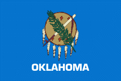
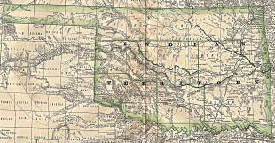
Oklahoma
 |
 |
The state's name is derived from the Choctaw words, 'people' and humma, which translates as 'red'. Oklahoma is also known informally by its nickname, "The Sooner State", in reference to the settlers who staked their claims on land before the official opening date of lands in the western Oklahoma Territory or before the Indian Appropriations Act of 1889, which increased European-American settlement in the eastern Indian Territory. Oklahoma Territory and Indian Territory were merged into the State of Oklahoma when it became the 46th state to enter the union on November 16, 1907.
With ancient mountain ranges, prairie, mesas, and eastern forests, most of Oklahoma lies in the Great Plains, Cross Timbers, and the U.S. Interior Highlands, all regions prone to severe weather. Oklahoma is at a confluence of three major American cultural regions. Historically it served as a government-sanctioned territory for Native Americans removed from east of the Mississippi River, a route for cattle drives from Texas and related regions, and a destination for Southern settlers. There are currently twenty-five Native American languages still spoken in Oklahoma.
A major producer of natural gas, oil, and agricultural products, Oklahoma relies on an economic base of aviation, energy, telecommunications, and biotechnology. Oklahoma City and Tulsa serve as Oklahoma's primary economic anchors, with nearly two-thirds of Oklahomans living within their metropolitan statistical areas.
The name Oklahoma comes from the Choctaw language phrase okla, 'people', and humma, translated as 'red'. Choctaw Nation Chief Allen Wright suggested the name in 1866 during treaty negotiations with the federal government on the use of Indian Territory. He envisioned an all–American Indian state controlled by the United States Superintendent of Indian Affairs. Oklahoma later became the de facto name for Oklahoma Territory, and it was officially approved in 1890, two years after that area was opened to white settlers.
In the Chickasaw language, the state is known as, in Arapaho as bo'oobe' (literally meaning 'red earth')and Gahnawiyoˀgeh.
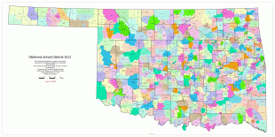
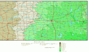
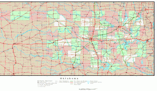
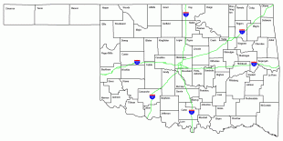
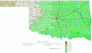
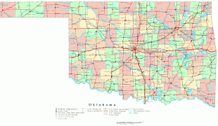
Map - Oklahoma
Map


Country - United_States
 |
 |
| Flag of the United States | |
Indigenous peoples have inhabited the Americas for thousands of years. Beginning in 1607, British colonization led to the establishment of the Thirteen Colonies in what is now the Eastern United States. They quarreled with the British Crown over taxation and political representation, leading to the American Revolution and proceeding Revolutionary War. The United States declared independence on July 4, 1776, becoming the first nation-state founded on Enlightenment principles of unalienable natural rights, consent of the governed, and liberal democracy. The country began expanding across North America, spanning the continent by 1848. Sectional division surrounding slavery in the Southern United States led to the secession of the Confederate States of America, which fought the remaining states of the Union during the American Civil War (1861–1865). With the Union's victory and preservation, slavery was abolished nationally by the Thirteenth Amendment.
Currency / Language
| ISO | Currency | Symbol | Significant figures |
|---|---|---|---|
| USD | United States dollar | $ | 2 |
| ISO | Language |
|---|---|
| EN | English language |
| FR | French language |
| ES | Spanish language |


